VineView is pleased to announce a new, enhanced version of our Web App!
The newly upgraded VineView App contains additional features, including
New Layers - Canopy Width, Soil Zones & Elevation Map
New Tools - Distance & Area Measurement
Customized Experience - Ability to add custom maps from user-generated data
In addition, we've made improvements to downloads and user management, including
Customer management of team access
Improved Downloads
Downloadable geopdfs for offline viewing in Avenza Maps
We're excited to release this enhanced app to our customers, providing hands-on access to VineView’s actionable data both in the office and in the field.
For more information, please contact us or visit our website at www.vineview.com.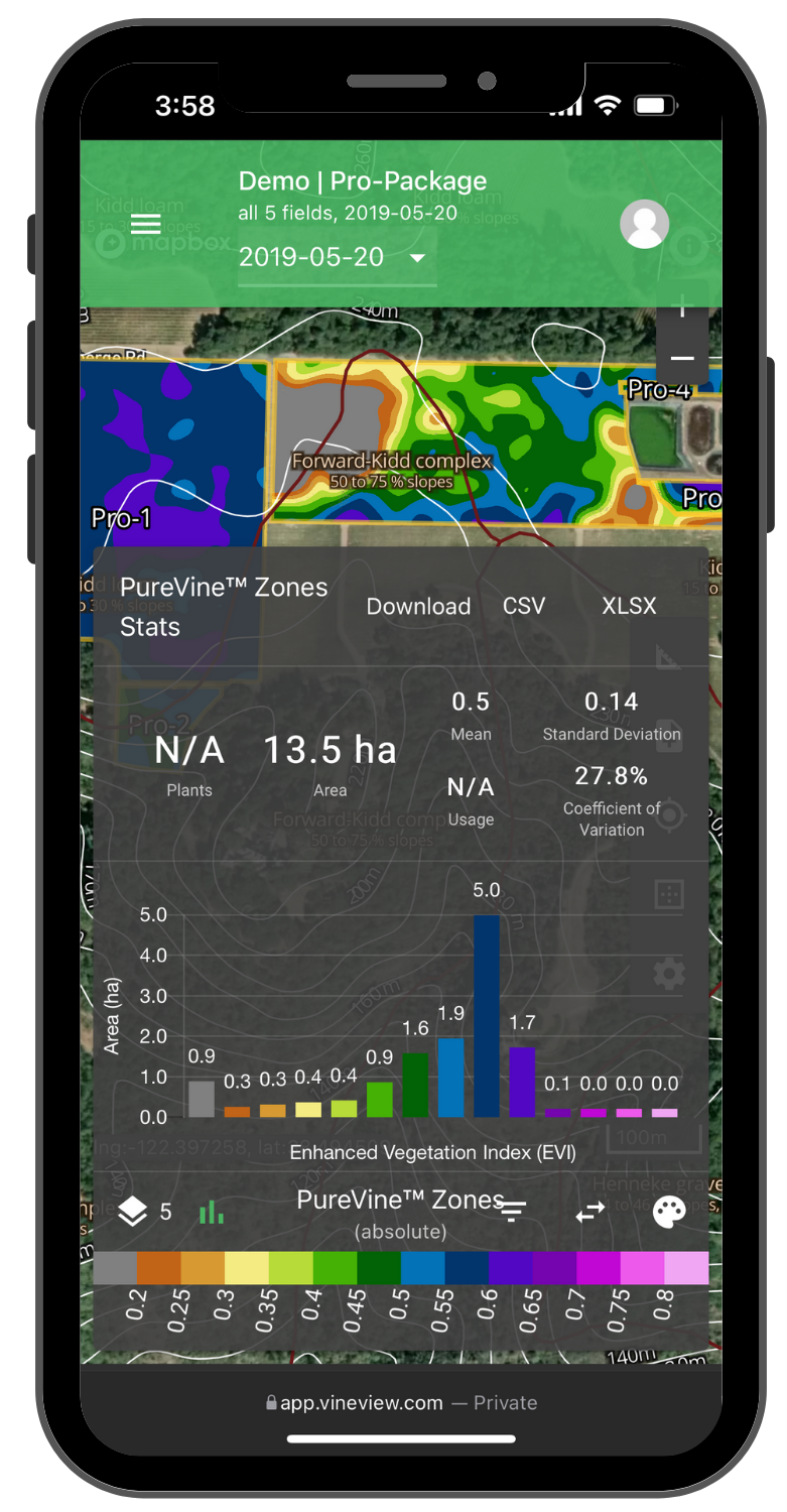
00